
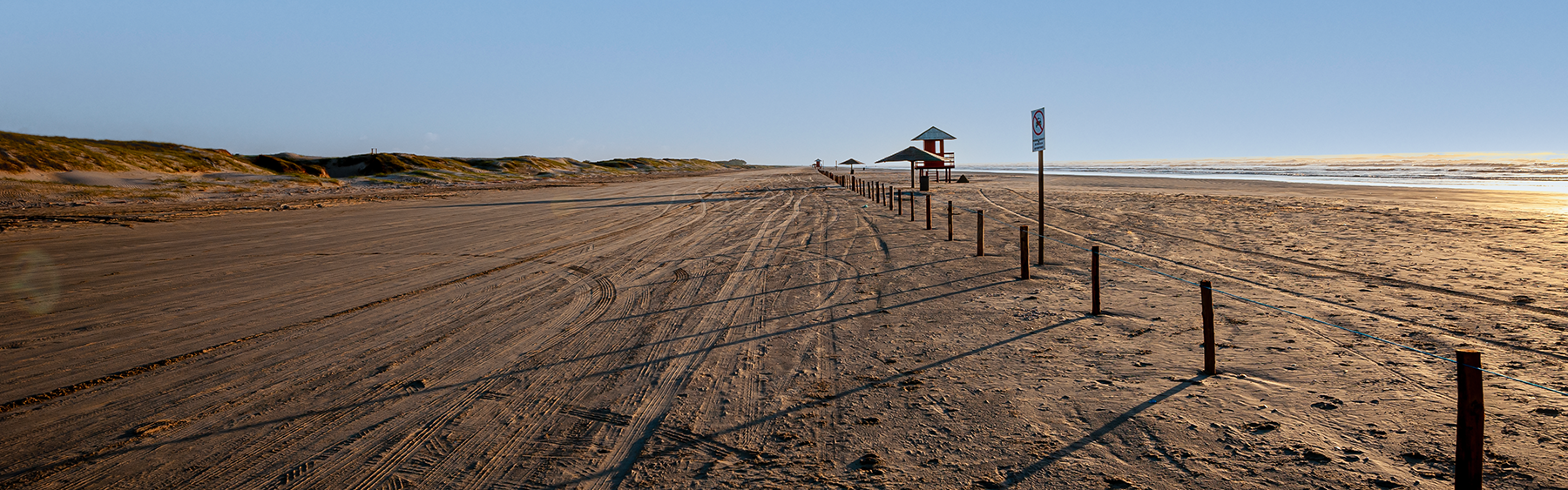
From Longtime Parking UY-Storage we went to MAN Montevideo and then to our friends in Piriapolis and further on to Brazil.
On our overview map we have entered waypoints with detailed information about the current road conditions for self-drivers, just zoom in. We also marked our personal Highlights.
If the download does not work, try it the German version.
As of November 22
Map of the route “Start and direction Brazil”: 452.27 km, 2,993 m of climbing and 3,055 m of descent, elevation between -55 m and 116 m, time 188:56:13. It starts at -34.64195, -55.56631 and ends at -33.67286, -53.44418 (latitude, longitude).
Heh Gabi, so nice to see you in September. Did you ever take a look at my travel log? I think I sent it to you by email – polarsteps. If you didn’t get it let me know. Cool tool. Question: have you ever been to Costa Rica on your tours? We are thinking of going and looking for “experienced” travel advice. Big hug from me. Martha