
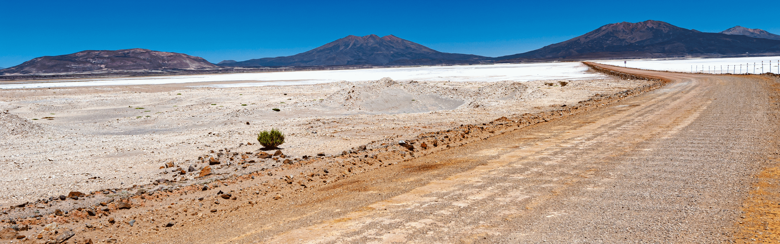
We were lucky to be able to drive through a lot of beautiful landscapes. The roads in Bolivia are mostly well maintained. During 21 days we drove 2’445km. Maximum altitude 4,690 m.
On our overview map we have entered waypoints with detailed information about the current road conditions for self-drivers, just zoom in.
If the download does not work, try it the German version.
As of February 23
Map of the route “Routes to fall in love with”: 2,446.95 km, 38,132 m of climbing and 41,495 m of descent, elevation between 144 m and 4,690 m, time 512:30:22. It starts at -20.30568, -66.97304 and ends at -23.24412, -64.26565 (latitude, longitude).
Leave A Comment