
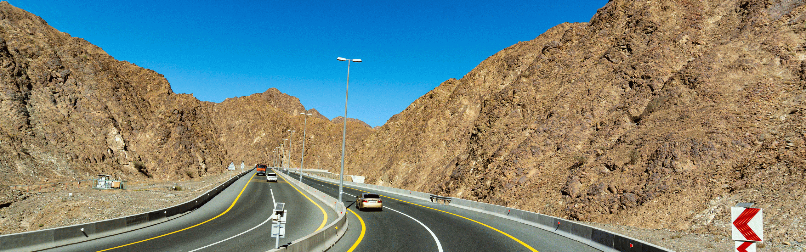
From Musandam we traveled across the Emirates with the aim of learning everything we could about falcons and meeting our friends. We drove 1,271 km over 18 days. Maximum altitude 252 m above sea level.
On the overview map we have entered detailed information about the current road conditions for self-drivers with waypoints, just zoom in or download. Our personal highlights are also entered.
As of February 25
Map of the route “Across the UAE”: 1,270.21 km, 3,797 m of climbing and 3,779 m of descent, elevation between -12 m and 252 m, time 435:53:40. It starts at 26.15909, 56.16985 and ends at 24.16429, 51.54619 (latitude, longitude).
Leave A Comment