
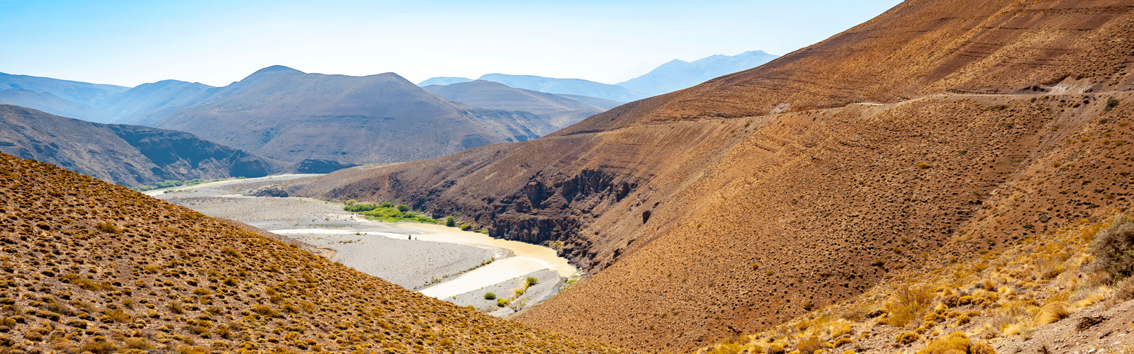
From Agua Caliente we went to San Rafael, where we encountered the changes due to the Corona Virus for the first time. We partly drove the way to Tres Arroyos in long stages until shortly before midnight on large roads because the provincial borders were closed.
If the download does not work, try it the German version.
Map of the route “Long hops on large country roads”: 1,789.03 km, 10,186 m of climbing and 11,896 m of descent, elevation between 45 m and 1,987 m, time 200:09:58. It starts at -36.72449, -70.62579 and ends at -38.61762, -60.47607 (latitude, longitude).
Please take care of yourself. Stay near a police station in order to get help and try not to travel so much in these days.
no problem, we stay where we are at the moment.