
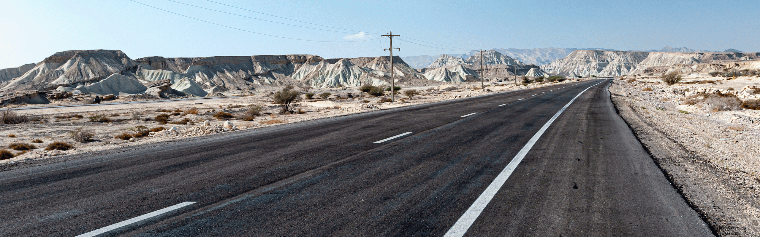
We actually drove through Kuwait from north to south. We drove 536 km over 7 days. Maximum height 133 m.
If the download does not work, try it the German version.
Map of the route “Through the city-state of Kuwait”: 535.19 km, 1,881 m of climbing and 1,860 m of descent, elevation between -38 m and 133 m, time 195:24:52. It starts at 30.49887, 48.04595 and ends at 28.52063, 48.41135 (latitude, longitude).
Leave A Comment