
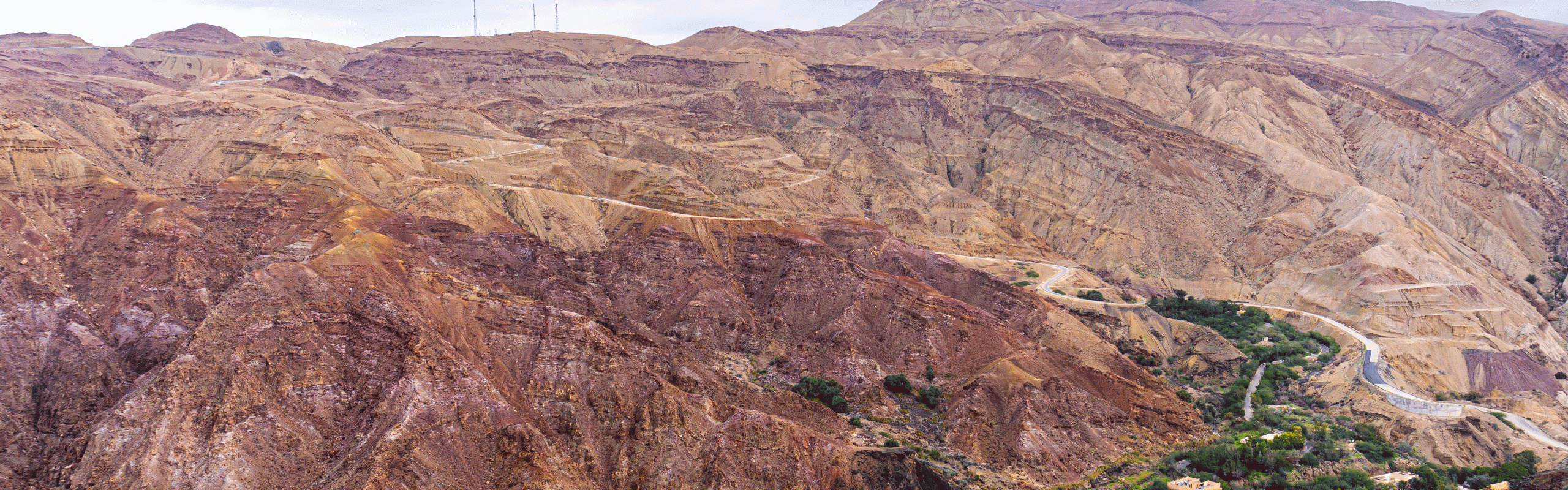
In the south, we drove to Wadi Rum and then north via Petra and the Dead Sea, following the many archaeological sites. In the north, there were countless more sights, including along the borders with Syria and Israel.
Southern Jordan
Map of the route “Jordan’s ancient stones”: 412.10 km, 7,161 m of climbing and 7,399 m of descent, elevation between -398 m and 1,642 m, time 188:44:52. It starts at 30.37548, 35.45215 and ends at 31.84456, 36.04350 (latitude, longitude).
Northern Jordan
Map of the route “Jordan’s ancient stones”: 193.82 km, 4,363 m of climbing and 4,118 m of descent, elevation between -229 m and 1,122 m, time 27:13:33. It starts at 32.53388, 35.85159 and ends at 31.95123, 35.91568 (latitude, longitude).
Hello Gabby & Peter
Thanks for sharing your Jordon journey, looks great. Must be bittersweet travelling without Globi, in one way you may feel lighter and more relaxed, on the other it would be kind of strange without your mobile home. Anyway keep enjoying and have safe travels.
Hi John, yes, it was very unusual. It’s definitely not our way of traveling. Globi has meanwhile travelled to Switzerland by ship.