
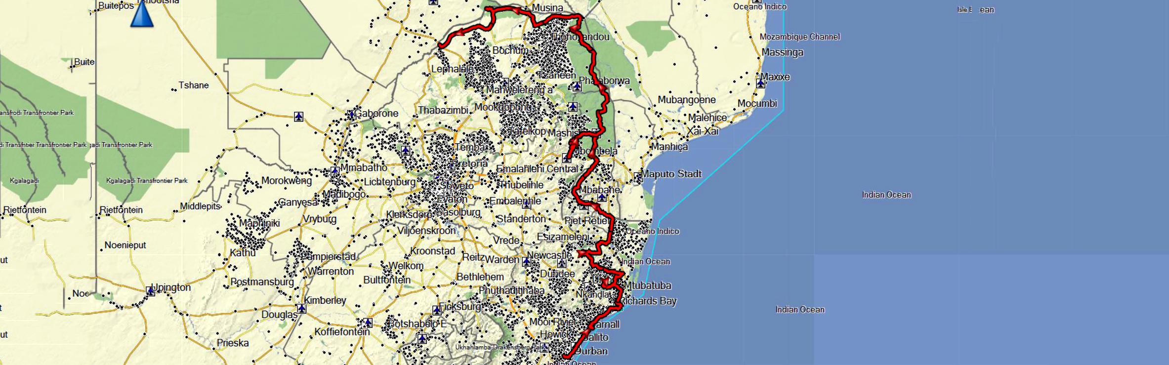
We mainly visit Swaziland and the Kruger National Park. From here we headed to the border with Botswana.
Map of the route “Traveling in the east of South Africa”: 2,359.01 km, 28,739 m of climbing and 28,327 m of descent, elevation between 10 m and 1,560 m, time 553:13:00. It starts at -29.81512, 30.83928 and ends at -23.03480, 27.97129 (latitude, longitude).
Leave A Comment