
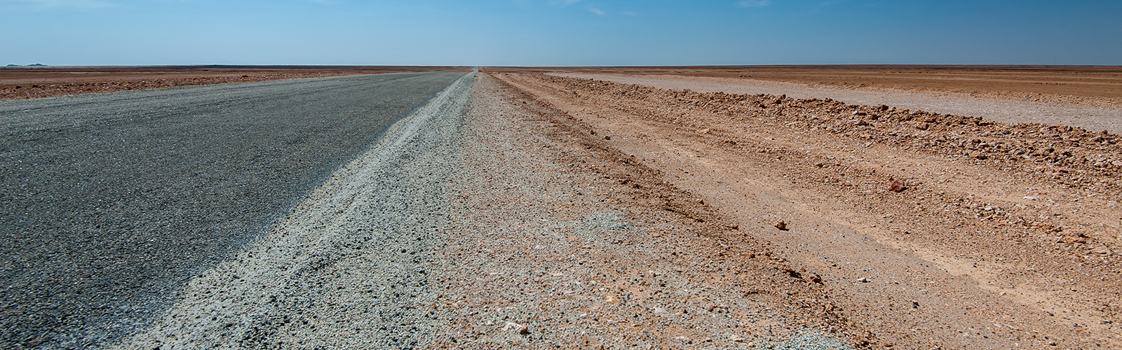
During our third Namibia trip, this time through the East, we discovered a completely new Namibia. Mainly Farmerland with appropriate infrastructure. On our overview map we have entered with waypoints all detailed information about the current road conditions for self-drivers, just check out and zoom in.
As of February 2018
Map of the route “Gravelroads like rollercoasters”: 2,539.94 km, 10,721 m of climbing and 10,884 m of descent, elevation between 872 m and 1,934 m, time 769:13:46. It starts at -17.39500, 15.89073 and ends at -25.76632, 19.99302 (latitude, longitude).
Very Nice update thank you.
How about a drone for those BIG PICTURE updates???
We’ll buy one this year, you’ll see 😉