
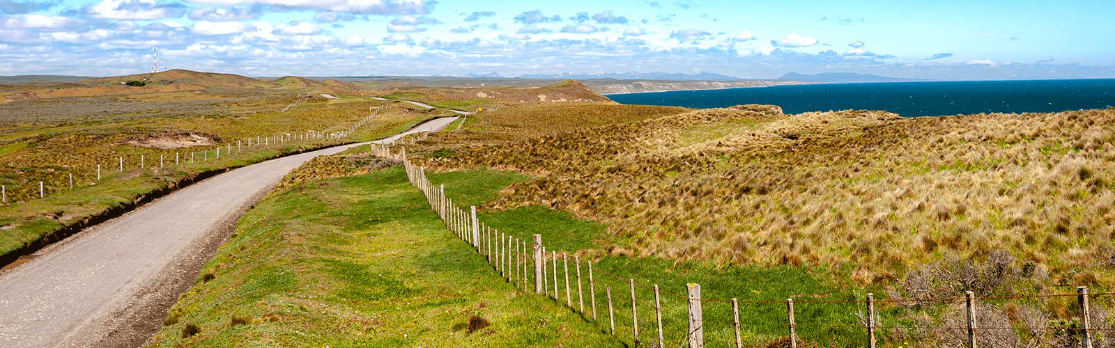
After Antarctica, our route more or less follows Ruta 40 to the north. This old road is mostly paved today and passes some tourist highlights. We almost started the Ruta 40 at Rio Gallegos by the sea and will follow it going north.
On our overview map we have entered waypoints with our personal highlights and detailed information about the current road conditions for self-drivers, just zoom in.
As of January 2020
If the download does not work, try it the German version.
Map of the route “The southernmost part of Route 40”: 2,069.70 km, 11,393 m of climbing and 10,520 m of descent, elevation between -34 m and 960 m, time 769:38:59. It starts at -54.80418, -68.31088 and ends at -47.75712, -72.11772 (latitude, longitude).
Leave A Comment