
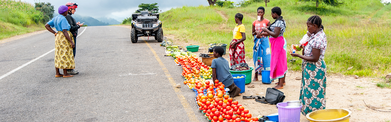
The main roads we were driving were in very poor condition and are being re-built by Chinese construction companies; sometimes over 100km at the same time. The “bypasses” are not prepared and totally destroyed by the many trucks and the weather. The side roads though are often in excellent condition. We also found earth roads which were outlined on the map including signposts, but they simply do not exist from a certain point onwards, but perhaps are planned. On our overview map we have entered with waypoints all detailed information about the current road conditions for self-drivers, just check out and zoom in.
Map of the route “Infrastructure is being rebuilt”: 4,027.90 km, 30,199 m of climbing and 30,188 m of descent, elevation between -1 m and 2,254 m, time 656:09:22. It starts at -17.98361, 16.02236 and ends at -17.03378, 15.66538 (latitude, longitude).
Dear Pegasus,
Thank you so much for documenting your travels. We followed your loop around the forest at Sumbe in Angola, it was magical.
David
thanx David for you feedback. we need that!