
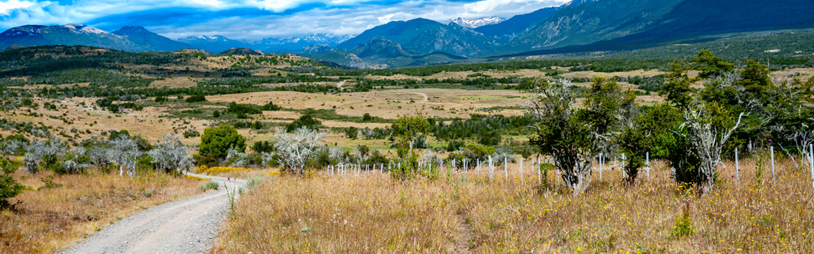
Our way north in Neuquén basically follows Ruta 40. Often, however, we drive smaller, more or less parallel paths deeper in the Andes and lots of side steps that lead us to wonderful places. The landscape in the Andes is so impressive that the path itself is often the destination.
For the first time, we are also putting a few routes to download on our blog which we have driven with our Quad «Ernstli». These routes are not possible to drive with a truck like ours (too heavy and too long), some of them are even difficult to master with just a small off-road vehicle.
On our overview map we have entered waypoints with our personal highlights and detailed information about the current road conditions for self-drivers, just zoom in.
As of March 20
If the download does not work, try it the German version.
Map of the route “The sidesteps are the high lights”: 1,151.23 km, 16,656 m of climbing and 15,490 m of descent, elevation between 626 m and 2,086 m, time 696:55:56. It starts at -40.16001, -71.34915 and ends at -36.71535, -70.62038 (latitude, longitude).
.
Ernstli
Agua Caliente
Map of the route “The sidesteps are the high lights”: 26.65 km, 829 m of climbing and 877 m of descent, elevation between 1,529 m and 2,122 m, time 02:31:13. It starts at -36.72460, -70.62589 and ends at -36.67766, -70.60557 (latitude, longitude).
La Angostura
Map of the route “The sidesteps are the high lights”: 26.42 km, 647 m of climbing and 704 m of descent, elevation between 1,144 m and 1,231 m, time 03:00:48. It is a loop that starts and ends at -38.86723, -71.19989 (latitude, longitude).
Vulcano Batea Mahuida
Map of the route “The sidesteps are the high lights”: 35.04 km, 1,106 m of climbing and 1,113 m of descent, elevation between 1,154 m and 1,846 m, time 02:22:51. It is a loop that starts and ends at -38.86700, -71.20007 (latitude, longitude).
Leave A Comment