
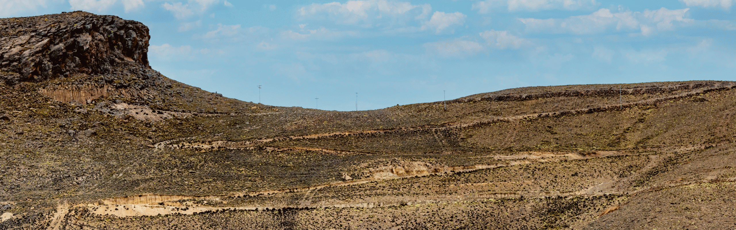
From the Bolivian border at Bermejo to Belén we enjoyed the Andes one more time. From Belén to Montevideo we drove the shortest and fastest route. During 15 days we drove 2’666 km. Maximum altitude 2,317 meters above sea level.
Map of the route “Back to the starting point”: 2,655.13 km, 14,348 m of climbing and 14,683 m of descent, elevation between -23 m and 2,317 m, time 361:39:41. It starts at -22.72795, -64.36106 and ends at -34.66332, -55.64818 (latitude, longitude).
If the download does not work, try it the German version.
Leave A Comment