
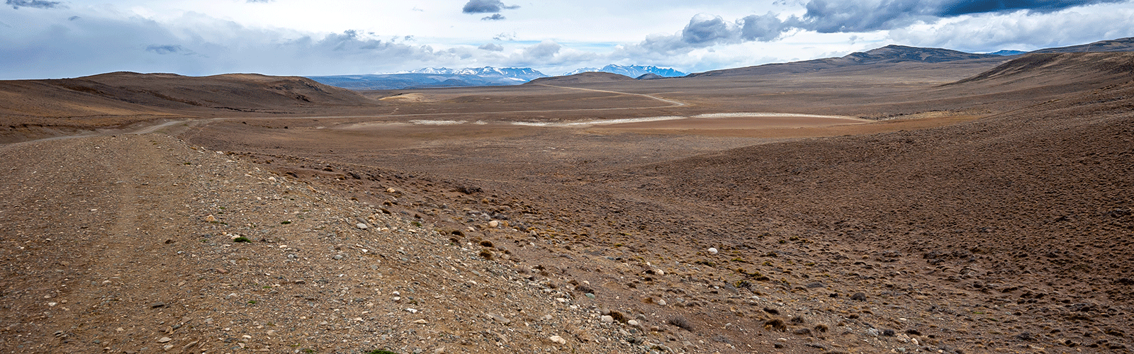
Basically, this part of Patagonia is extremely touristy and the infrastructure is developed accordingly. The side trips away from Ruta 40 are, however, sometimes demanding and worthwhile. We also “had to” use Ernstli because the paths were definitely too narrow and too small for Globi.
On our overview map we have entered waypoints with our personal highlights and detailed information about the current road conditions for self-drivers, just zoom in.
As of February 2020
If the download does not work, try it the German version.
Map of the route “Hard, demanding paths”: 1,852.93 km, 17,207 m of climbing and 17,471 m of descent, elevation between 163 m and 1,173 m, time 727:16:59. It starts at -47.75205, -72.11926 and ends at -40.15438, -71.34698 (latitude, longitude).
Leave A Comment